
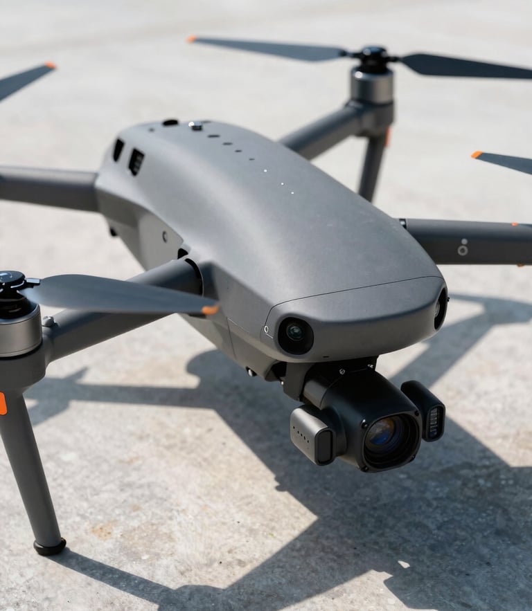
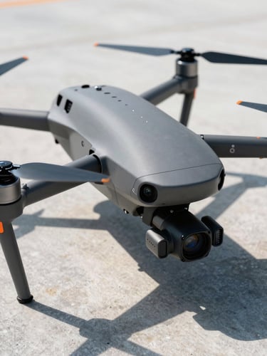
Precision aerial search and imaging
FAA Part 107 certified operators delivering thermal search and recovery alongside high-resolution utility mapping across North Alabama.
Request aerial dispatch or quote
For real estate mapping and roof inspections, submit the telemetry form.
Clear answers, zero delay
Review our standard flight parameters, certified credentials, and rapid deployment capabilities before initiating your aerial mapping or recovery mission.
How fast is dispatch?
Are you FAA certified?
What data is delivered?
For thermal search and rescue operations, we aim for rapid dispatch within two hours of your call. Weather permitting, we deploy immediately across the North Alabama region.
Yes, every pilot is fully FAA Part 107 certified. We maintain active airspace waivers for commercial property mapping and night-flight thermal search operations.
We provide high-resolution orthomosaic maps, detailed structural thermal imaging reports, and raw 4K optical footage tailored to real estate and utility inspection standards.